+
+
Cross-Country Skiing Area Schöneck Hohe Reuth in the Vogtland: Position on map

Cross-Country Skiing Schöneck Hohe Reuth

Kammloipe, Hohe Reuth

Trail Map Schöneck Hohe Reuth
@JJMedia

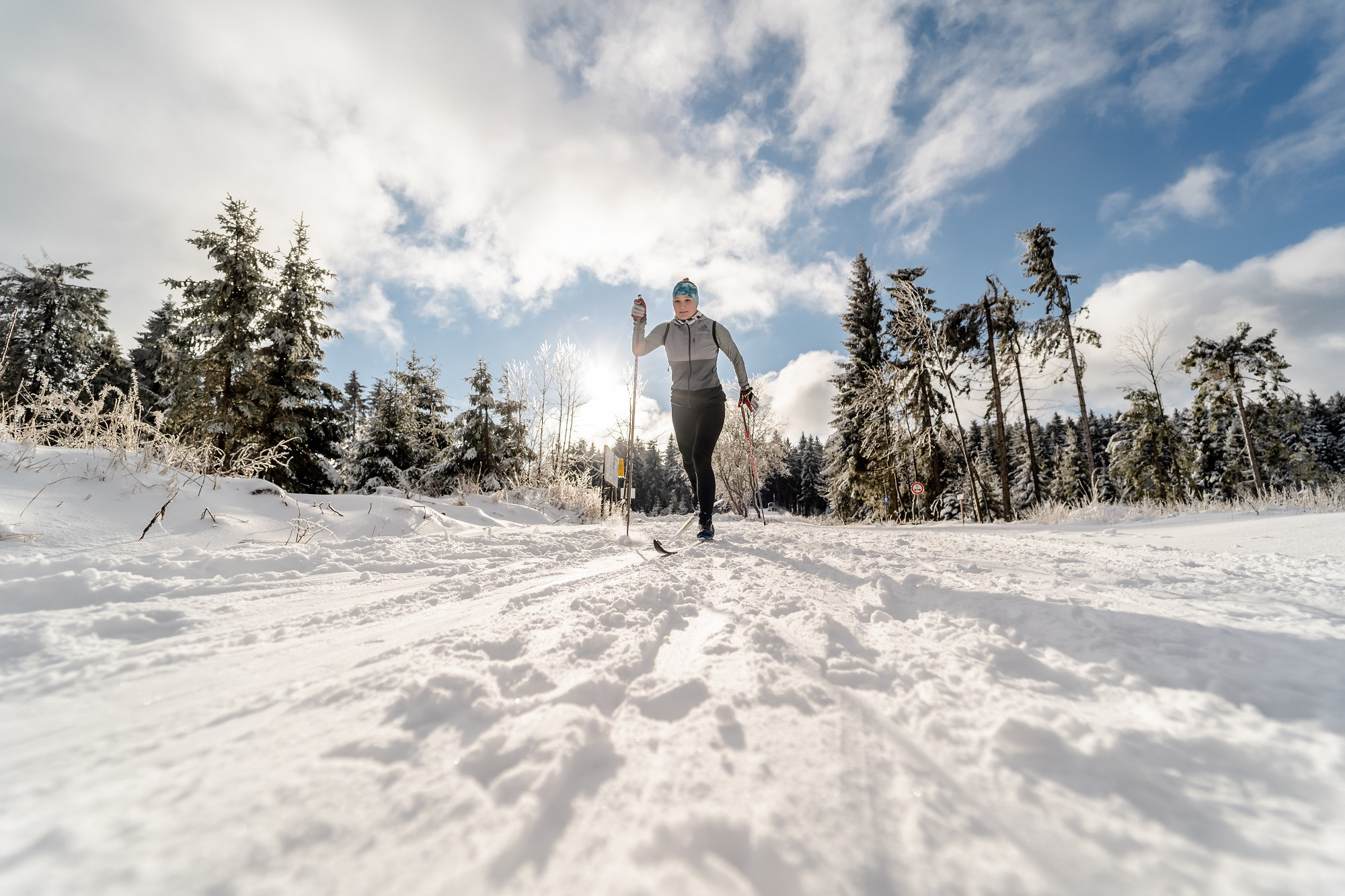
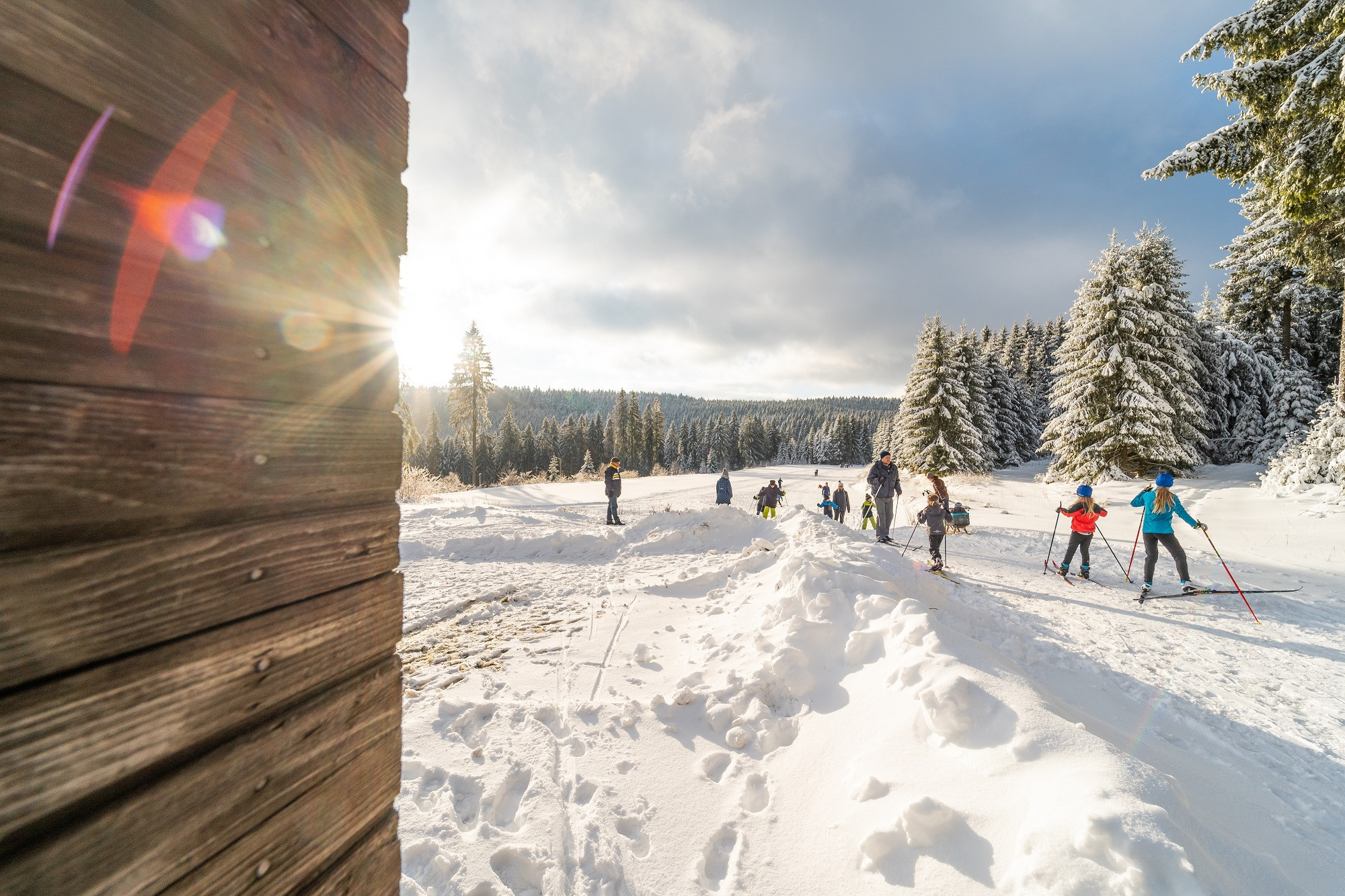
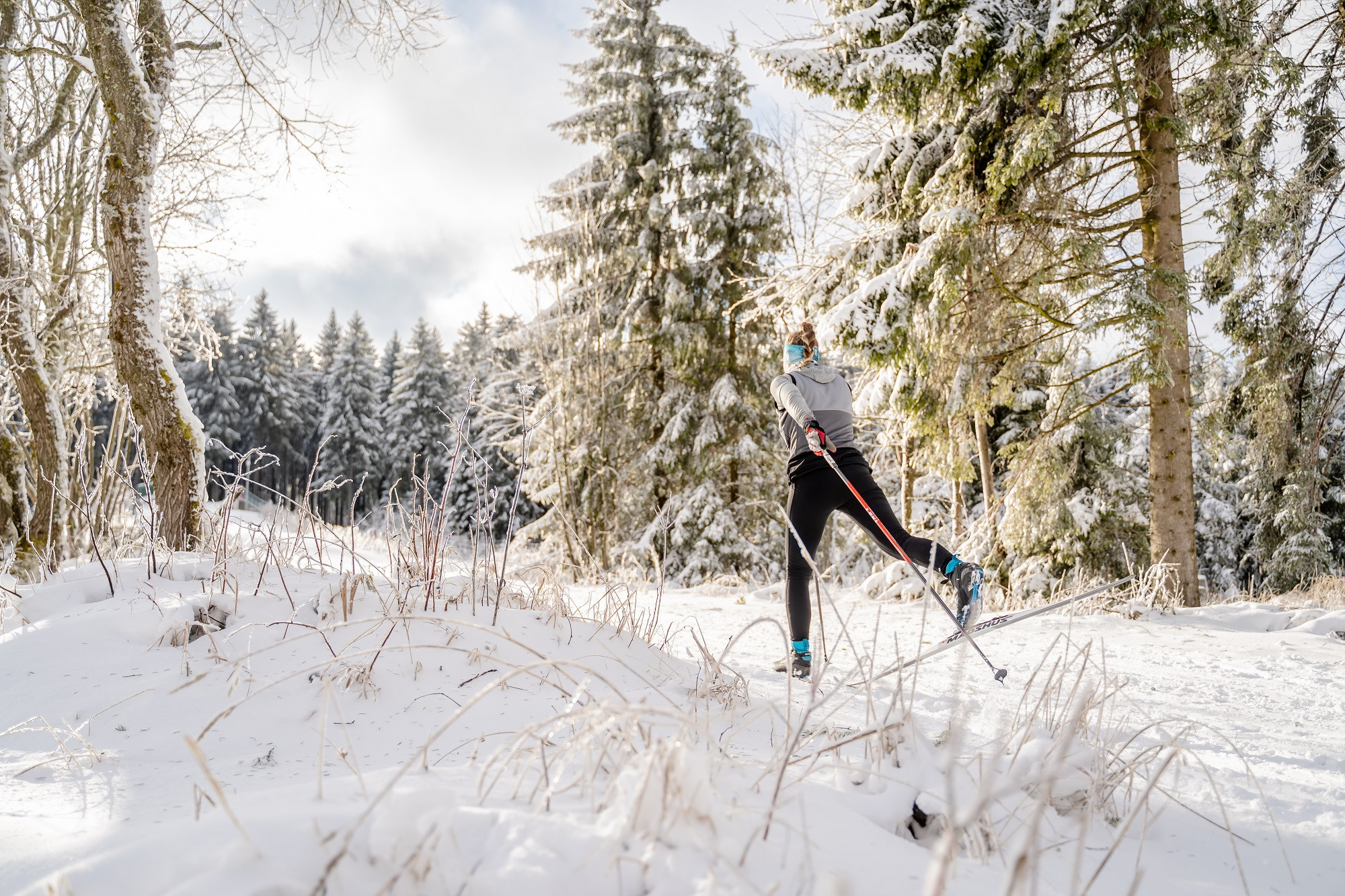
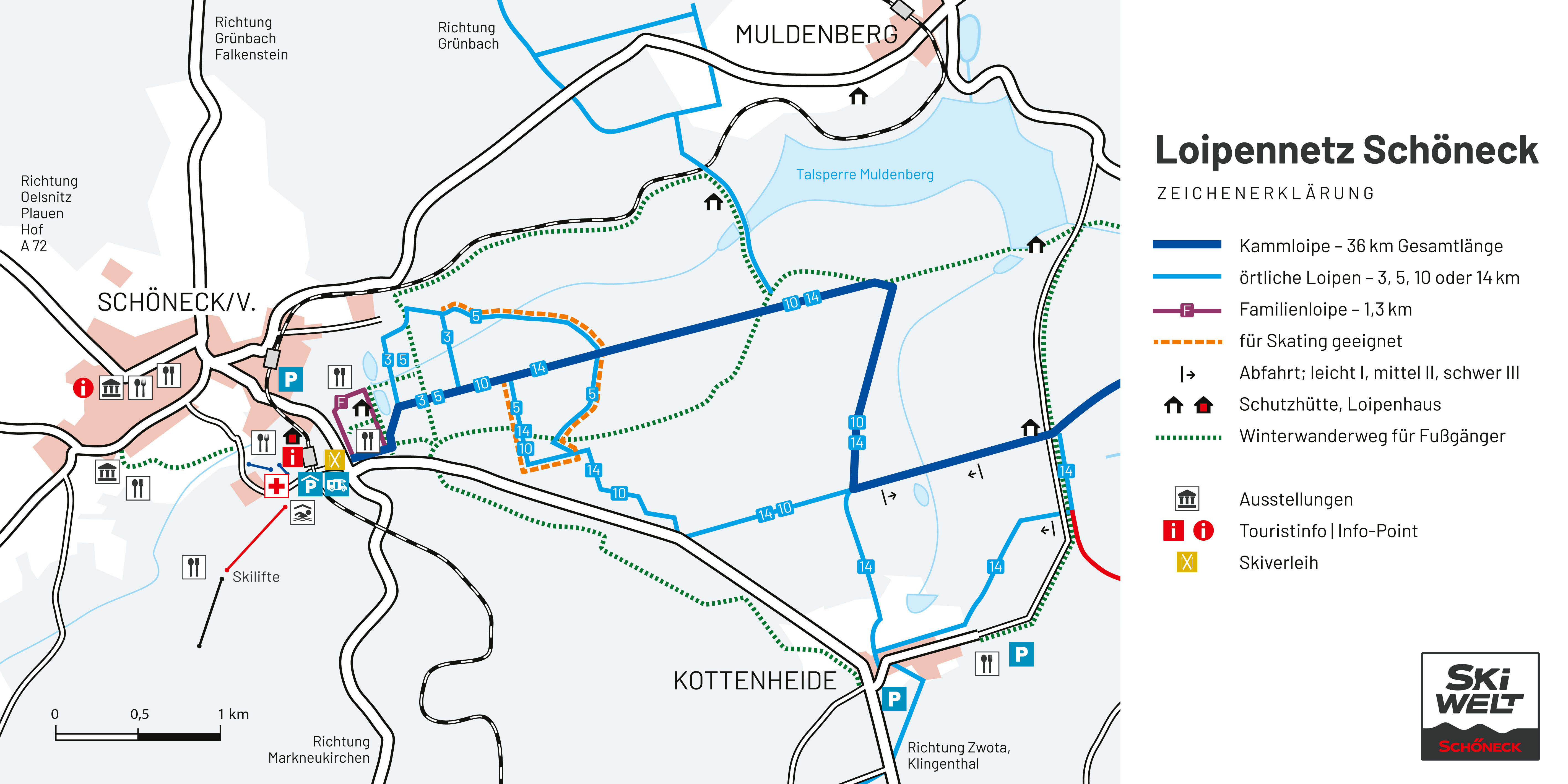
The Cross-Country Area

© Tourist-Info Schöneck

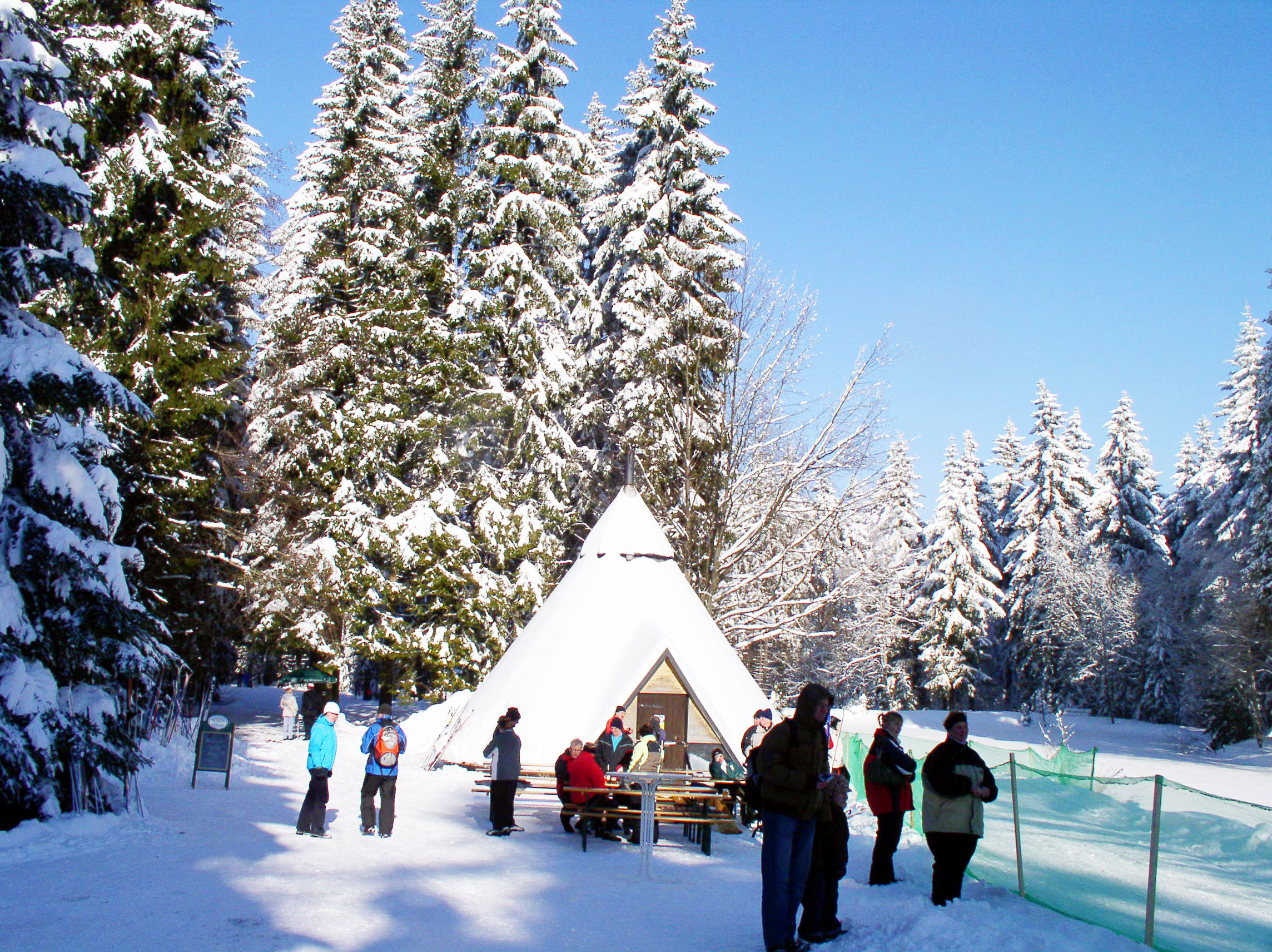
Cross-country-skiing-area around Schöneck is 36 km long. The routes are between one and 14 km long and not difficult.
Schöneck is the starting point of the known Kammloipe. This 36 km long route to Johanngeorgenstadt is one of the most beautiful in Germany.

Interesting facts

  • The high point of the cross-Country skiing area is located at an elevation of 780 m.
  • Snow coverage is usually best during December, offering an average snow depth of 38 cm at summit elevation and 41 cm at the base.

Contact

Tourist-Information Schöneck
Hohe Reuth 9
08261
Schöneck
E-Mail
Email%69%6e%66%6f%40%73%63%68%6f%65%6e%65%63%6b%2d%76%6f%67%74%6c%61%6e%64%2e%64%65
Phone037464 330011

Comments

Rate the Cross-Country Skiing Area
Advertisement

Weather (830 m)

Facts

Elevation720 m - 780 m
Skating km
Classic 33 km
Lighted trails N/A

Cross-Country Trails

Easy
Moderate
Advanced
Overall 33 km