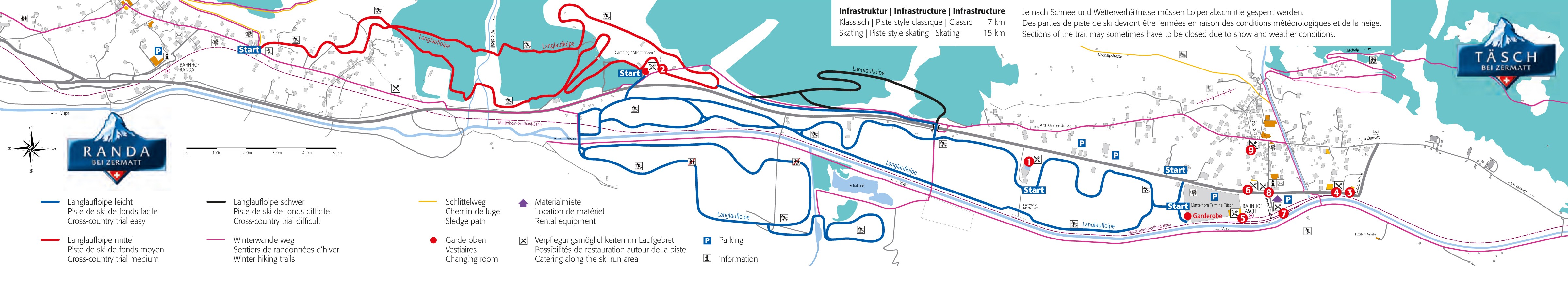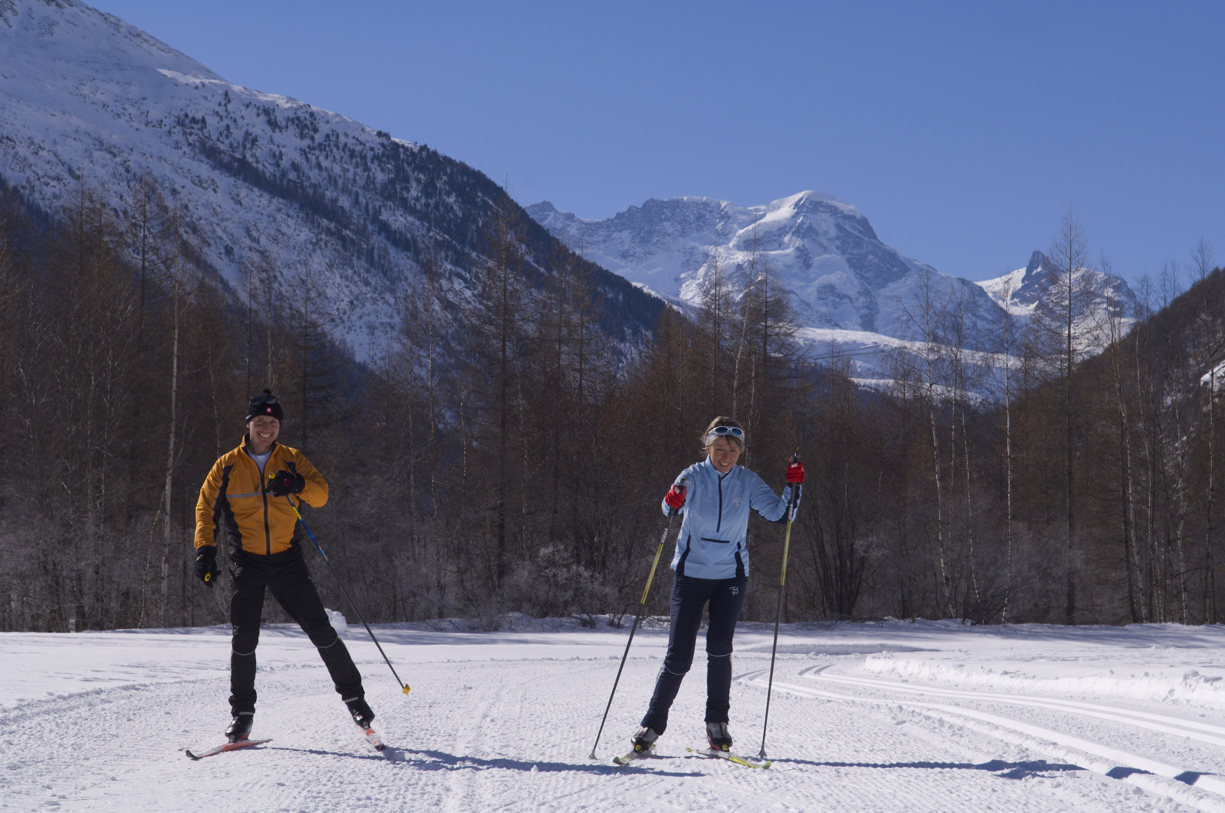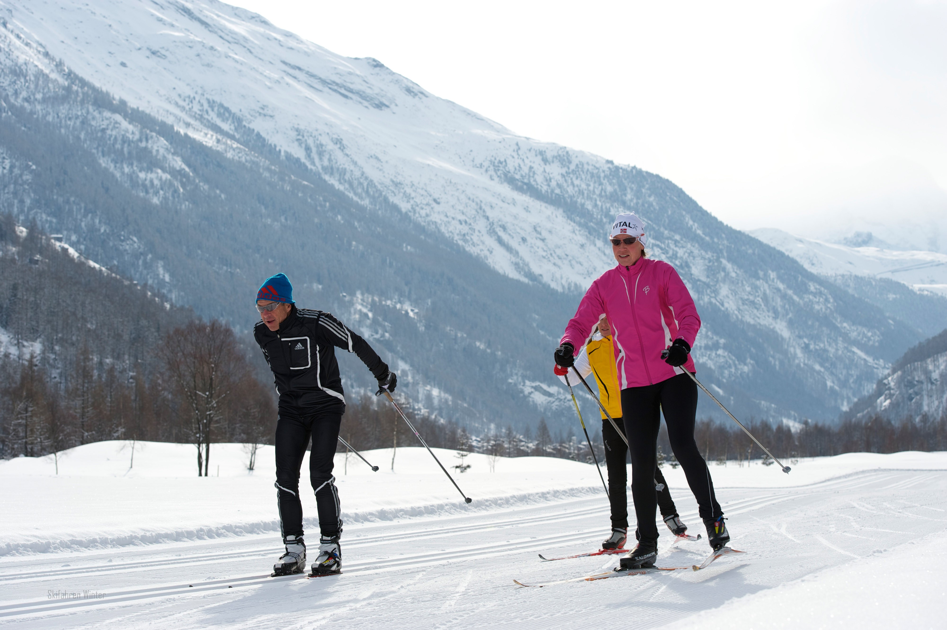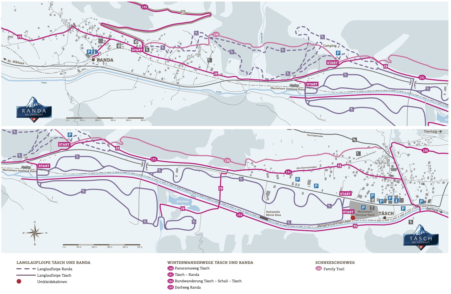
The Cross-Country Area
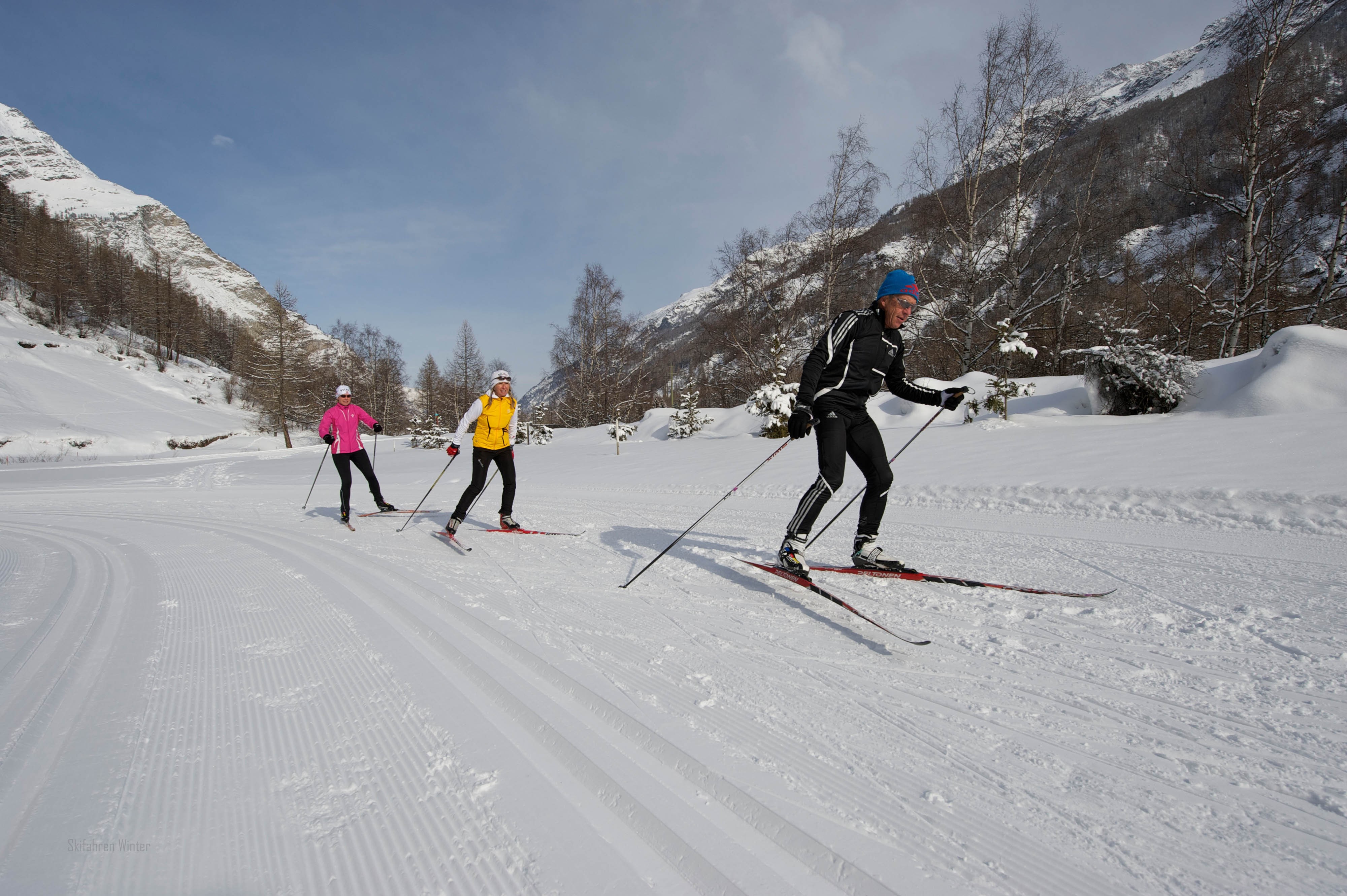
Cross-country skiers find a 15 kilometer (9,3 miles) trail network between Täsch and Randa. The center is Matterhorn Terminal, there are locker rooms and you can rent the necessary equipment. Find entrances to the cross-country trails at Matterhorn Terminal Täsch, the club house of the golf course and in Moos.
Interesting facts
- The highest point of the track is 1,480 m above sea level.
- Snow coverage is usually best during March, offering an average snow depth of 181 cm at summit elevation and 34 cm at the base.