The Cross-Country Area
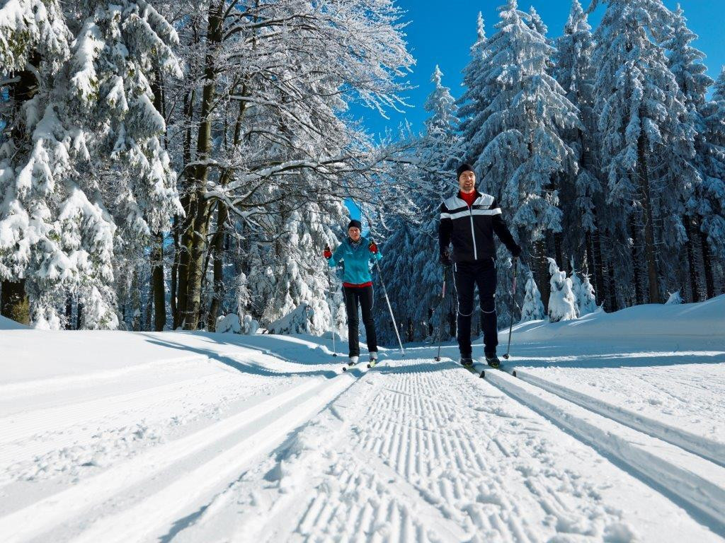
In the cross-country skiing paradise of Haidmühle-Bischofsreut-Frauenberg you have almost 70 kilometres of cross-country trails at your disposal. Among them 6.5 kilometres are suitable for skating.
As a beginner you can comfortably walk through the snow-covered winter landscape on the eleven kilometre long blue marked cross-country trail. The Goldener Steig Bischofsreut round trail, on the other hand, is only suitable for real professionals: The 15.5-kilometre-long, difficult route leads you from the cross-country skiing centre in Bischofsreut to the radar station, on to the former village of Leopoldsreut and back to the starting point via the "Stricker-Reibe" and Haberau.
The Most Beautiful Tracks
A large part of the cross-country trails in the cross-country skiing paradise of Haidmühle-Bischofsreut-Frauenberg is a good challenge, especially for experienced cross-country skiers. The mostly long stretches lead you along the Osterbach Canal and let you enjoy the great view of the Bavarian Forest in between.
Overview of the cross-country ski runs in the Haidmühle-Bischofsreut-Frauenberg cross-country ski run paradise:
- Trail no. 1 - Goldene Steig Trail: 15.5 km / marked black / course: Haidelloipe connection
- Trail no. 3 - round trail Bischofsreut - Haus Auersperg: 11 km / marked blue / course: Connection to Haidmühle
- Track no. 3a - skating track: 1 km / marked yellow
- Cross-country ski run no. 4 - connecting ski run at the Marchhäuser border: 3.5 km / marked red
- Connecting track to Philippsreut: 4,5 km / marked red
- Trail no. 5 - round trail Haidmühle: 14 km / marked black / route: connection to Duschlberg and Haidel
- Track no. 5a - skating track: 5.5 km / marked yellow / course: Haidmühle - Ludwigsreut - Duschlberg - Frauenberg - Duschlberg
- Track no. 7 - Adalbert-Stifter track: 5 km / marked blue / start: Haidmühle od. Frauenberg / course: former railway line, flat track
- Track no. 8 - connecting track Bischofreut with connection to the Czech Republic: 4 km / marked blue
- Cross-country trail no. 9 - connecting track Haidmühle border: 2.5 km / marked blue
Interesting facts
- The high point of the cross-Country skiing area is located at an elevation of 10 m.
- Snow coverage is usually best during December, offering an average snow depth of 17 cm at summit elevation and 10 cm at the base.
Getting Here
If you take the A3, leave it at the Aicha vorm Wald exit and take the B12 at Hutthurm. At Aussernbrünst turn right to drive towards Waldkrichen. At Jandelsbrunn turn left and drive via Altreichenau and Frauenberg to Haidmühle.