
The Cross-Country Area
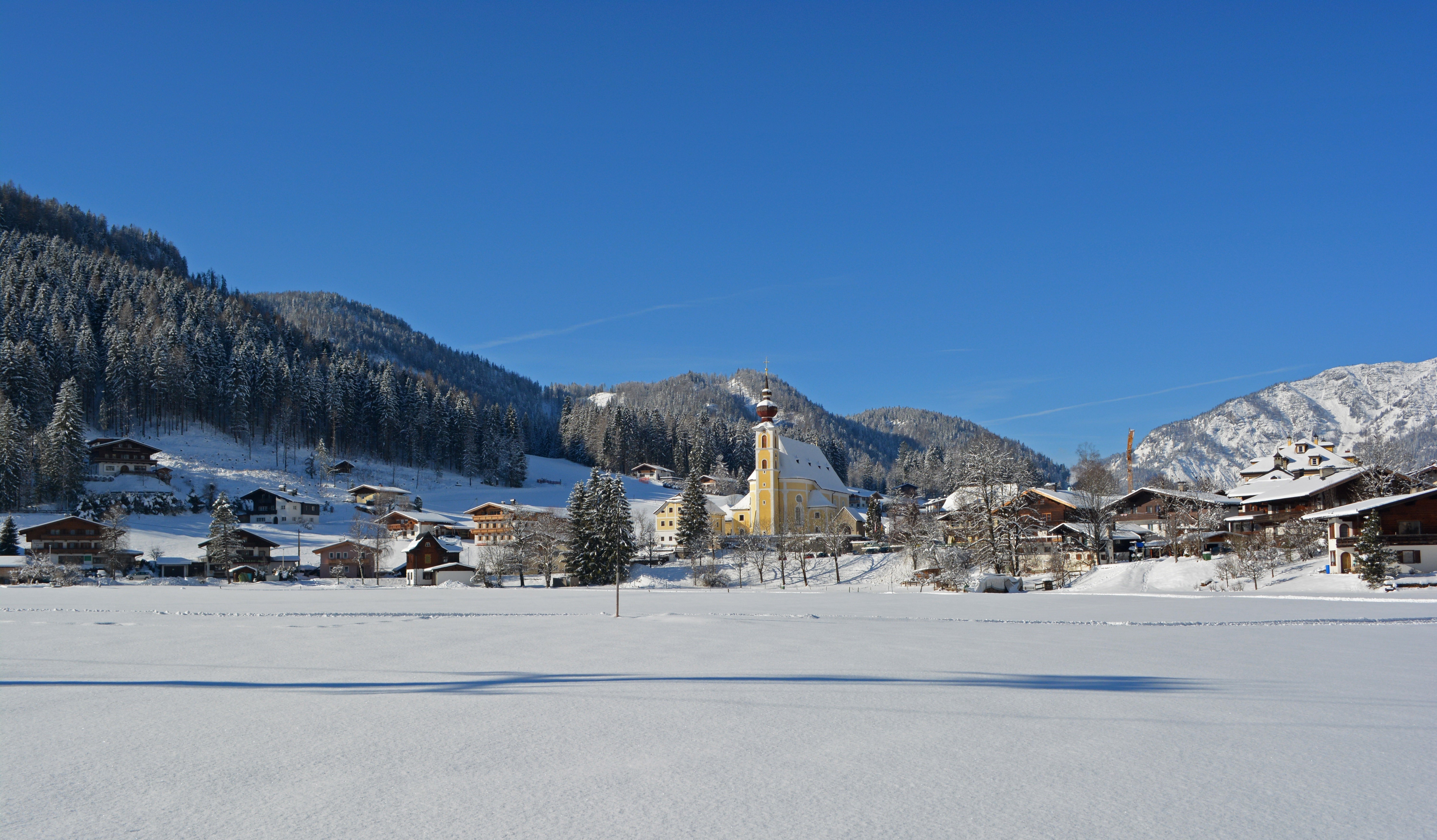
Waidring is not only a great place for Alpine skiers to hit the hills of the Steinplatte ski area, but also an impressive destination for cross-country fans. The resort offers some 25 km of classic and skating trails, all groomed on a daily basis. The range of routes is vast and spans everything from practice trails for newbies to a full-blown race course exclusively for skaters.
The Pillersee Valley, known as the “snow hole” of the Kitzbühler Alps, offers a total of 110 km of cross-country trails spread across five resorts in winter. Waidring is flanked by the Biathlon World Cup destination Hochfilzen, Fieberbrunn, St. Ulrich am Pillersee and St. Jakob in Haus. All the towns in the valley charge visitors a trail fee of 5 euros per day. 3-day tickets, week passes and season tickets are also available.
The Most Beautiful Tracks
Practice trail (no. 15)
- Length: 1.8 km
- Difficulty: Easy
- Classic/Skating
- The starting point is directly below Hotel Steinplatte. The trail leads through flat fields in a circular route before returning to the hotel.
Dorfloipe (no. 15a)
- Length: 3.5 km
- Difficulty: Easy
- Classic/Skating
- From the centre of town, this trail passes Hotel Steinplatte and heads back across the fields to the car park by the ski lift, before making a small turn back to the starting point.
Strubloipe (no. 16)
- Length: 6.5 km
- Difficulty: Easy
- Classic/Skating
- This trail also starts in the centre of Waidring. It continues along the Dorfloipe until the Strubloipe junction which then leads over the Haselbach stream and past the campsite before heading over open terrain to the reach the Strub district.
Steinbergloipe (no. 16a)
- Length: 4 km
- Difficulty: Easy
- Classic/Skating
- This trail leads from the Strub area along the edge of the forest to the campsite.
Blachholzloipen (no. 17)
- The Blachholzloipe trail is split into four loops, measuring 2.2 km, 3.7 km, 4.8 km and 7 km respectively.
- Difficulty: Medium
- This eye-catching trail starts directly on Dorfstraße across from Autohaus Winkler before passing the Blachholzkapelle above the Seibl shop. From here, you can continue to Erpfendorf or the Kaiserloipen trails.
Skating Race Trail (no. 17a)
- Length: 2.9 km
- Difficulty: Hard
- This route is only intended for skaters. Starting in the centre of town, the route stays close to the Dorfloipe trail before taking on various ascents and descents, and returning to the starting point.
Interesting facts
- The highest point of the track is 875 m above sea level.
- Snow coverage is usually best during February, offering an average snow depth of 134 cm at summit elevation and 37 cm at the base.
Video
Getting Here
By car from Munich
- A8 towards Salzburg
- At the Inntal junction, exit the A8 onto the A93 (in Austria the A12) towards Innsbruck/Kufstein.
- Exit the A12 at (17) Wörgl Ost towards St. Johann in Tirol and continue on the Lofererstraße (B178) to St. Johann in Tirol.
- From here stay on the B178 to PillerseeTal/Waidring.
By car from Innsbruck
- From Innsbruck on the A12 towards Salzburg / Germany.
- Exit the A12 at (17) Wörgl Ost towards St. Johann in Tirol and continue on the Lofererstraße (B178) to St. Johann in Tirol.
- From here stay on the B178 to PillerseeTal/Waidring.
By car from Salzburg
- Take the A1 or A10 to the "Salzburg West" exit or the A8 over the Austrian border to the "Bad Reichenhall” exit.
- Follow the B178 towards Lofer until you reach Waidring.

