The Cross-Country Area
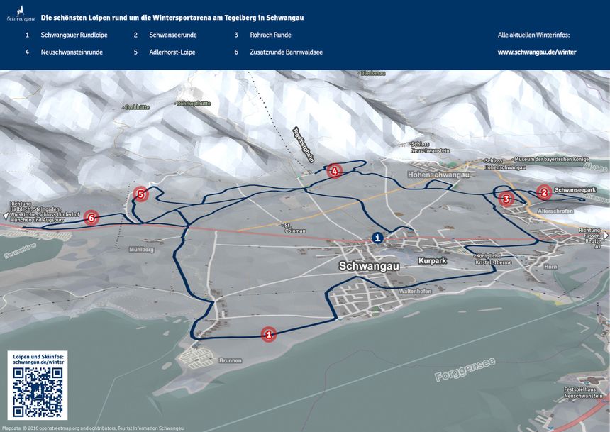
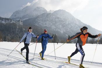
The leisurely ambience around the rural little town of Schwangau, the glittering ice surfaces of the numerous frozen lakes and the DSV ‘s Nordic skiing centre provide ample opportunities for exercising body, mind and soul. And activities don’t stop at sundown. Nordic skiers and skaters circle the illuminated two-kilometre Neuschwanstein track where the view alone takes your breath and the snow’s always perfect, thanks to the automatic snowing system.The people of Schwangau are becoming used to getting astonished looks: Things you would only expect at the Nordic Skiing World Championship village of Oberstdorf are meanwhile also available at the village of royal castles: The official Nordic Skiing Cross-Country Site with 32 kilometres of prepared trails of every category, from beginners’ to championship. The GPS-surveyed trail markings let you find your way in classic as well as free-style.
Interesting facts
- The highest point of the track is 813 m above sea level.
- Snow coverage is usually best during January, offering an average snow depth of 40 cm at summit elevation and 20 cm at the base.

