+
+
Cross-Country Skiing Area Schwarzenberg Bödele in the Bregenz Forest: Position on map

Cross-Country Skiing Schwarzenberg Bödele

Bödele

Trail Map Schwarzenberg Bödele
(c) Heinz Lingenhöhle

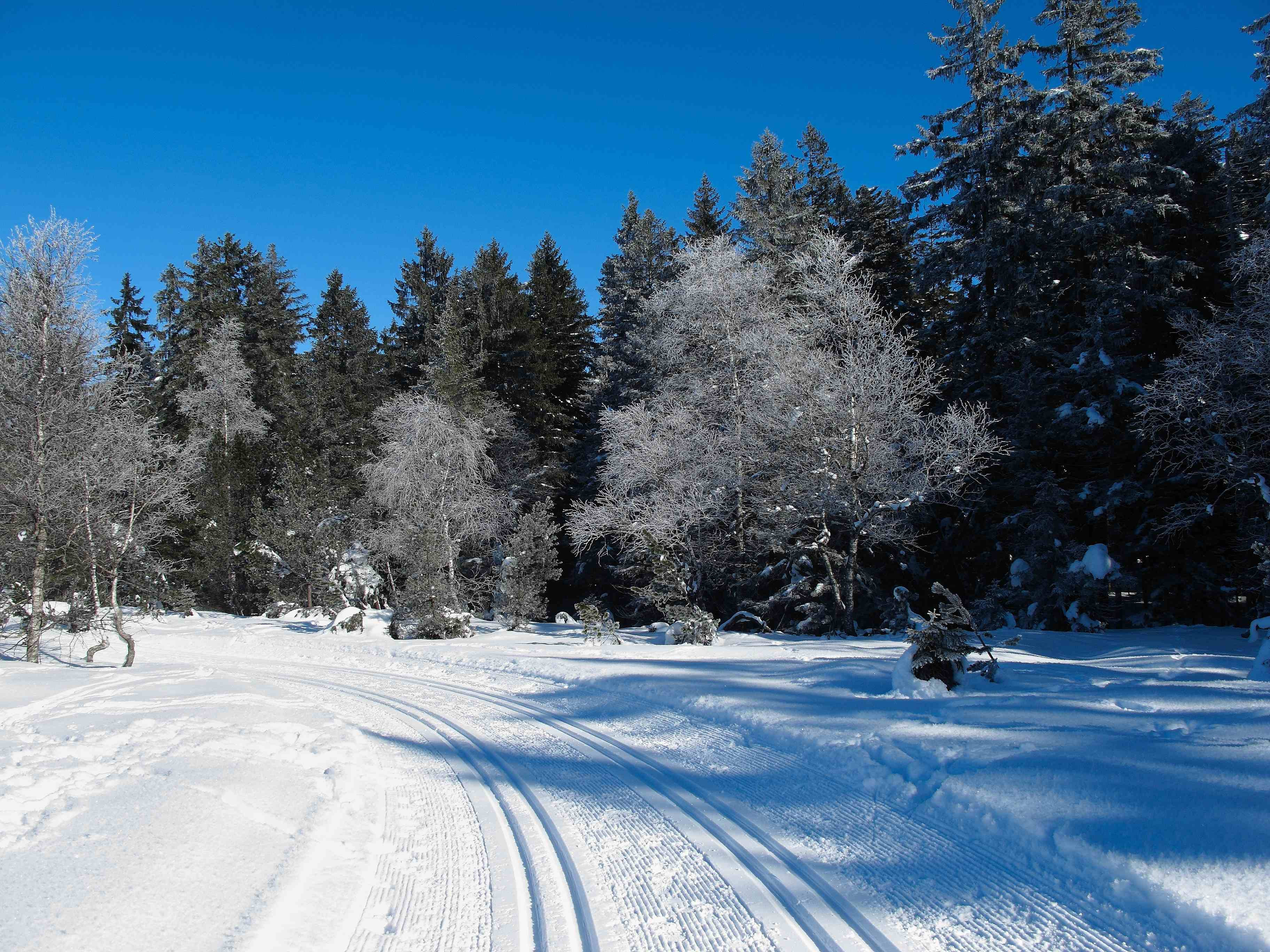
The Cross-Country Area

The backcountry skiing slopes at Bödele are situated in the nature reserve "Fohramoos". Two classical slopes with 3 or 9 km length are prepared. For free!

Interesting facts

  • The highest point of the track is 3904 ft above sea level.
  • Snow coverage is usually best during January, offering an average snow depth of 35 " at summit elevation and 22 " at the base.

Contact

Schwarzenberg Tourismus
Hof 454
6867
Schwarzenberg
E-Mail
Email%69%6e%66%6f%40%73%63%68%77%61%72%7a%65%6e%62%65%72%67%2e%61%74
Phone+43 5512 3570

Comments

Rate the Cross-Country Skiing Area
Advertisement

Weather (3937 ft)

Facts

Elevation3707 ft - 3904 ft
Skating 0 miles
Classic 5.59 miles
Lighted trails N/A

Cross-Country Trails

Easy
Moderate
Advanced
Overall 5.6 miles