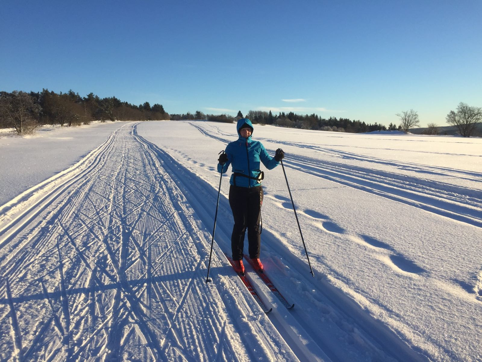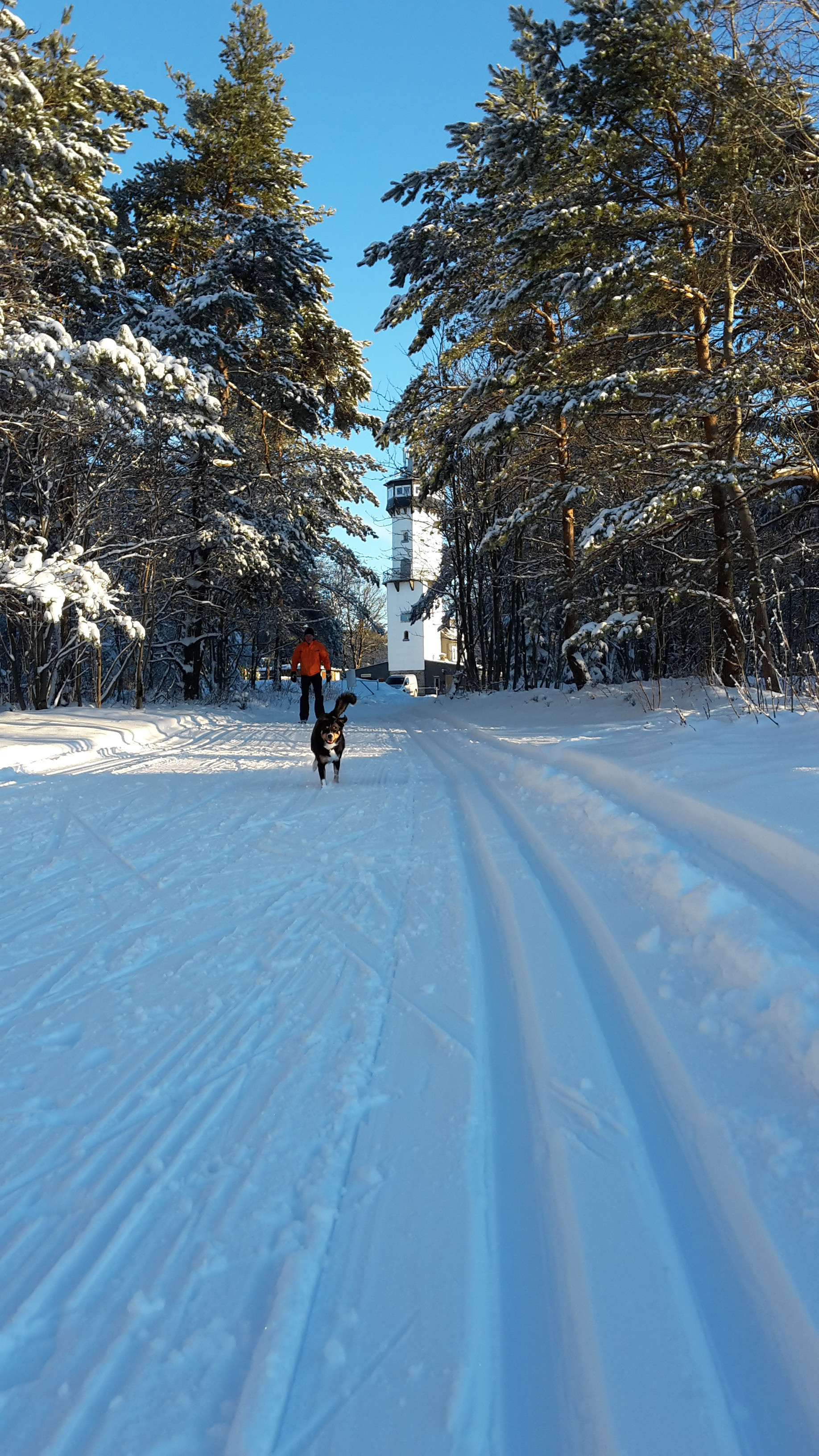
The Cross-Country Area
As soon as Mrs. Holle turns white in winter, you can also enjoy winter sports in Oberweißbach in the Thuringian Forest. The eight-kilometre ski trail starts at the foot of the Kirchberg and climbs steeply up to the Fröbelturm. Once on the ridge path, the trail then runs relatively flat towards Cursdorf.
Interesting facts
- The cross-Country skiing area takes you to an elevation of 700 m.
- Snow coverage is usually best during January, offering an average snow depth of 24 cm at summit elevation and 16 cm at the base.
Getting Here
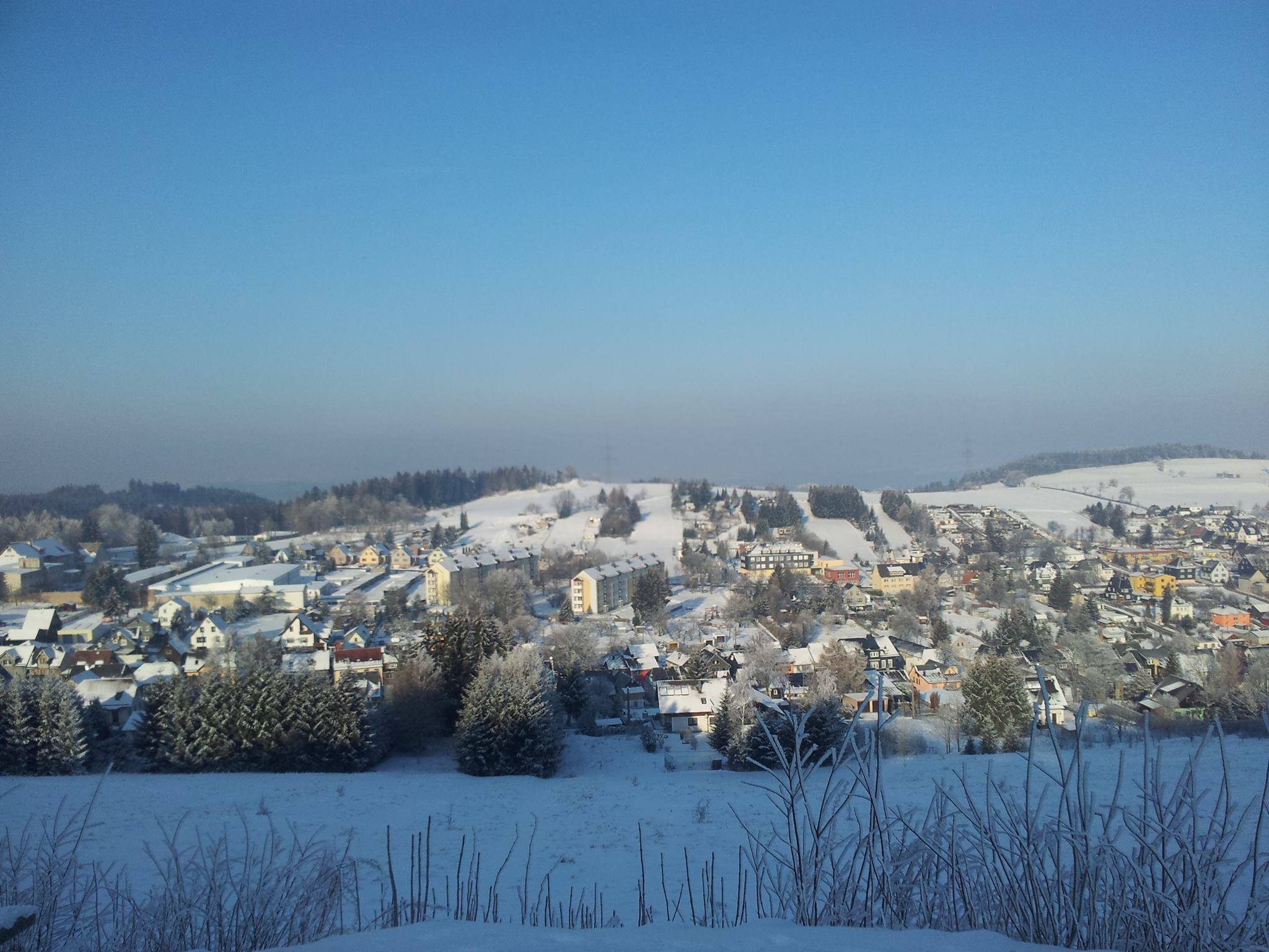
Oberweißbach lies between Saalfeld/Saale and Eisfeld. Take the B281 to Neuhaus am Rennweg. From there it goes via Cursdorf to Oberweißbach.
Travel Deals & Tips
Advertisement