+
+
Cross-Country Skiing Area Hörnergruppe in the Allgäu: Position on map

Cross-Country Skiing Hörnergruppe

Fischen, Bolsterlang, Obermaiselstein, Balderschwang, Ofterschwang

Trail Map Hörnergruppe
© Tourismus Hörnerdörfer GmbH

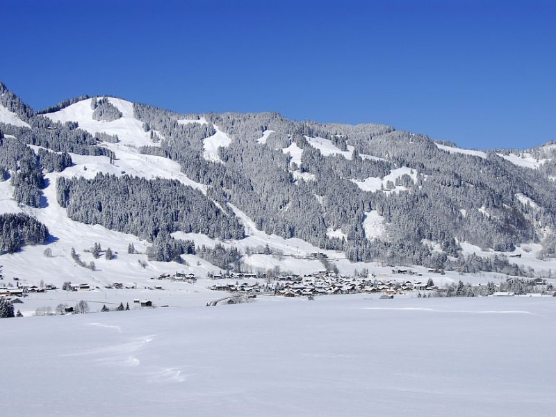
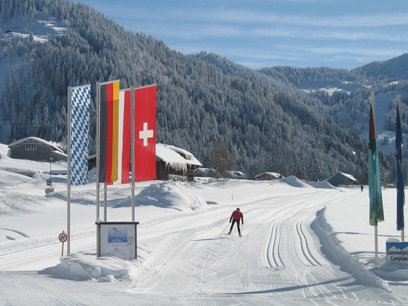
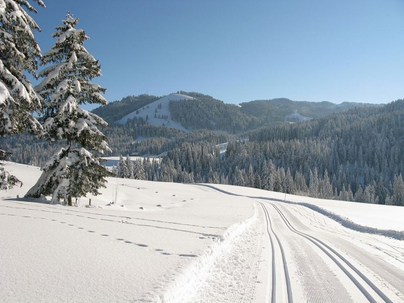
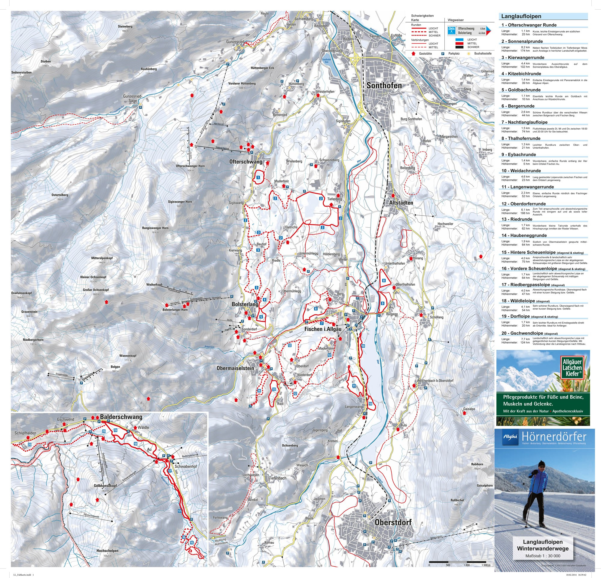
The Cross-Country Area

© Obermaiselstein

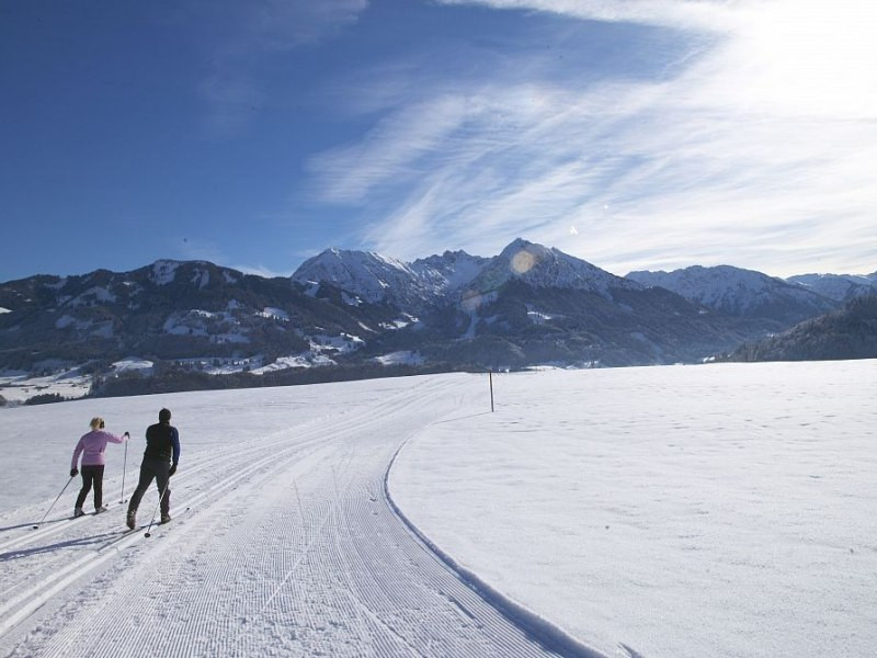
In the Hörnerdörfer there are 110 km prepaired Slopes (Skating and Diagonal) for free for our guest. The slope in Balderschwang is snow proof as it is situated up in the mountains.

Interesting facts

  • Offering 116.20 km cross-country trails, Hörnergruppe is among the 15 largest Cross-Country Skiing Areas in Germany.
  • The high point of the cross-Country skiing area is located at an elevation of 1,044 m.
  • Snow coverage is usually best during February, offering an average snow depth of 82 cm at summit elevation and 49 cm at the base.

Contact

Tourismus Hörnerdörfer GmbH
Am Anger 15
87538
Fischen i. Allgäu
E-Mail
Email%69%6e%66%6f%40%68%6f%65%72%6e%65%72%64%6f%65%72%66%65%72%2e%64%65
Phone+49 (0) 83 26 / 36 46 0
Fax49 (0) 83 26 / 36 46 56

Comments

Rate the Cross-Country Skiing Area
Advertisement

Weather (918 m)

Facts

Elevation792 m - 1,044 m
Skating 110 km
Classic 110 km
Lighted trails 3.50 km

Cross-Country Trails

Easy
Moderate
Advanced
Overall 116.2 km