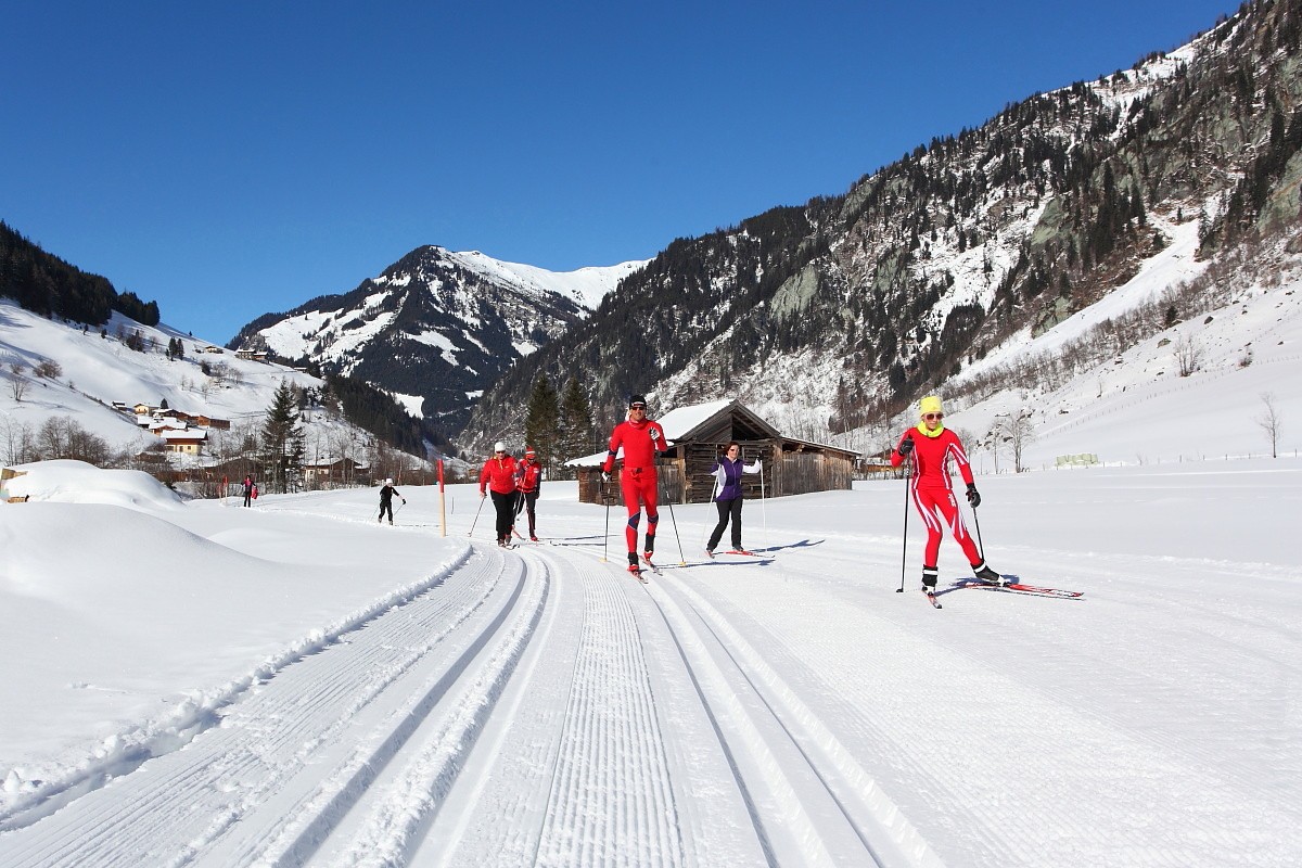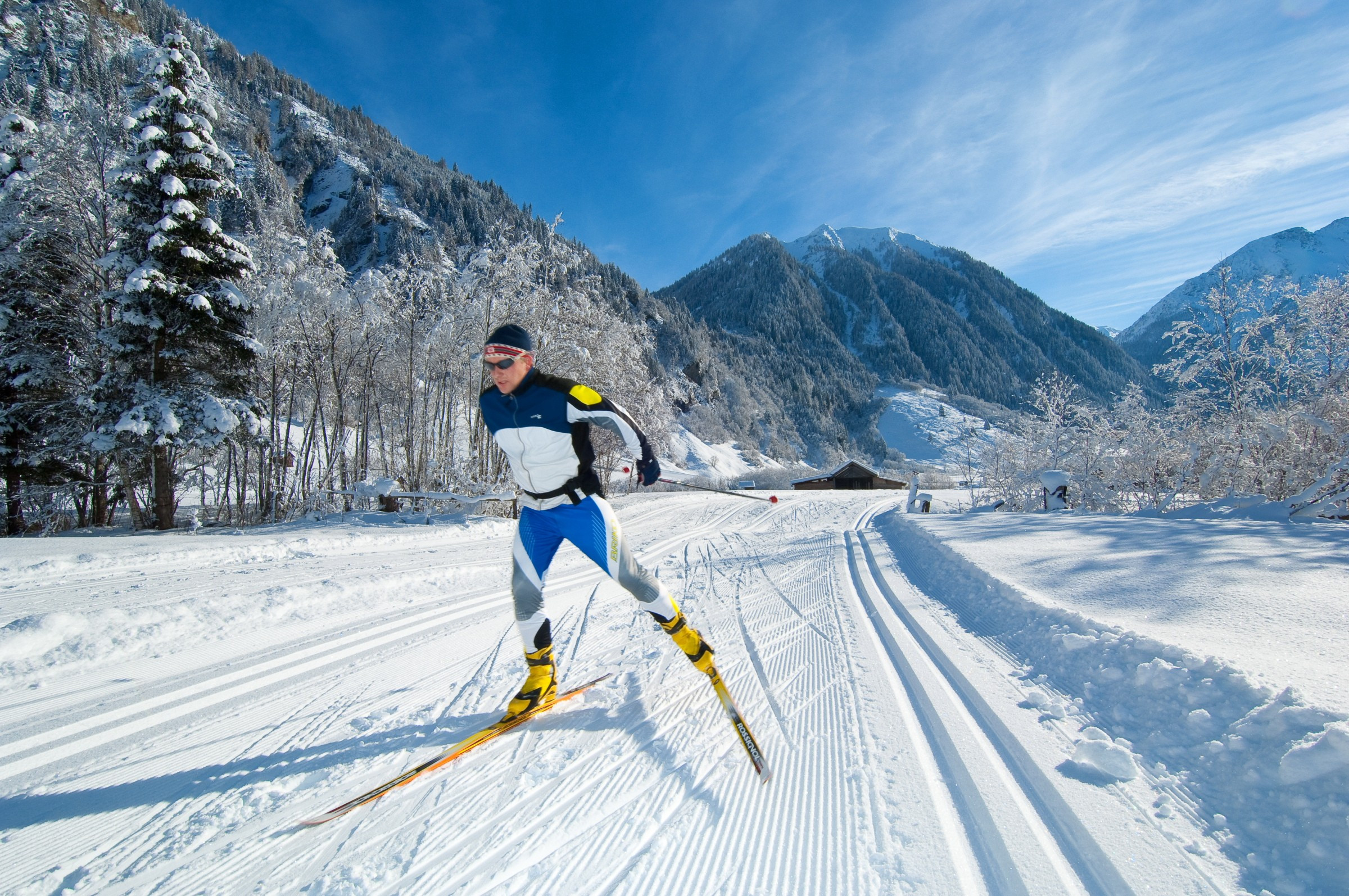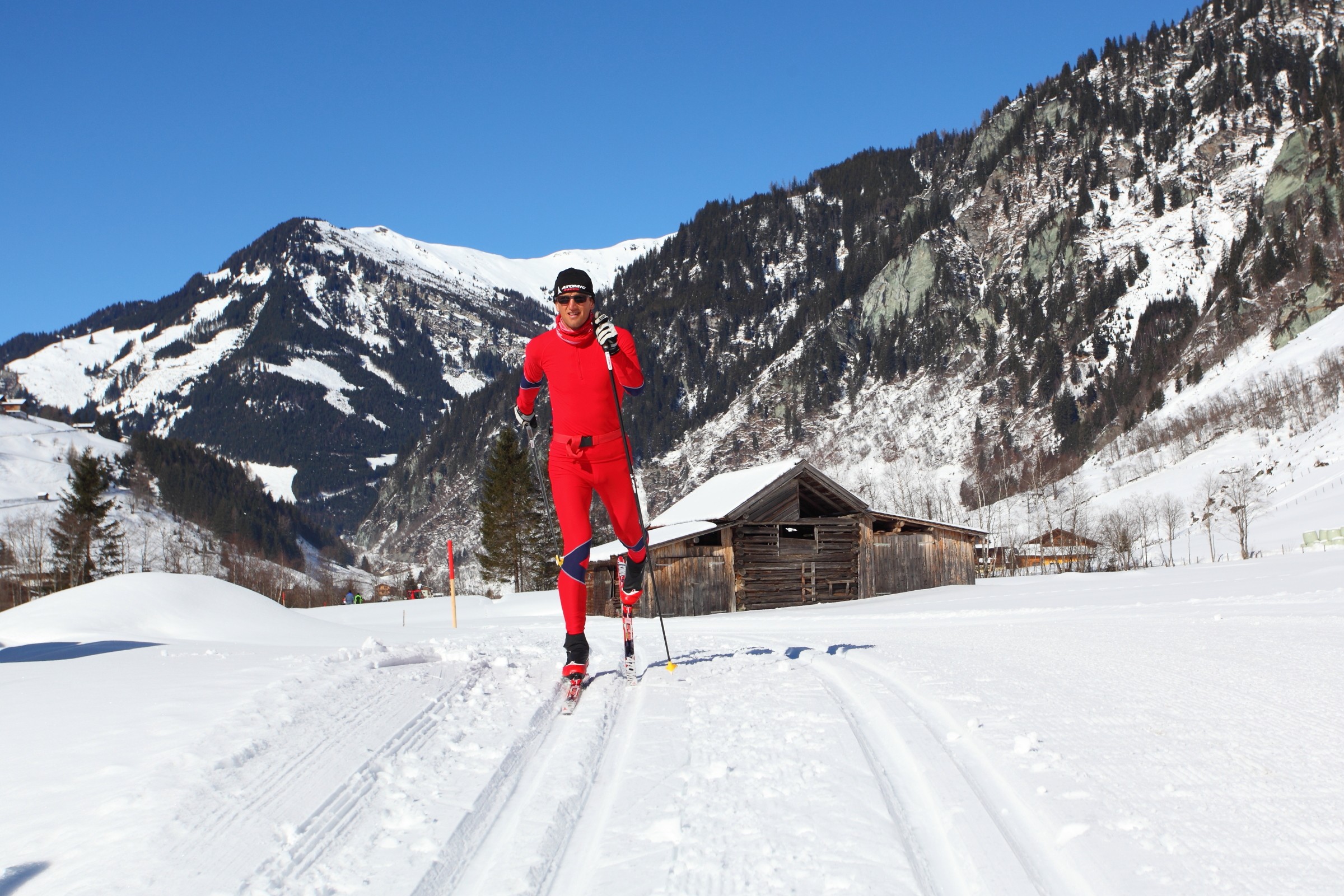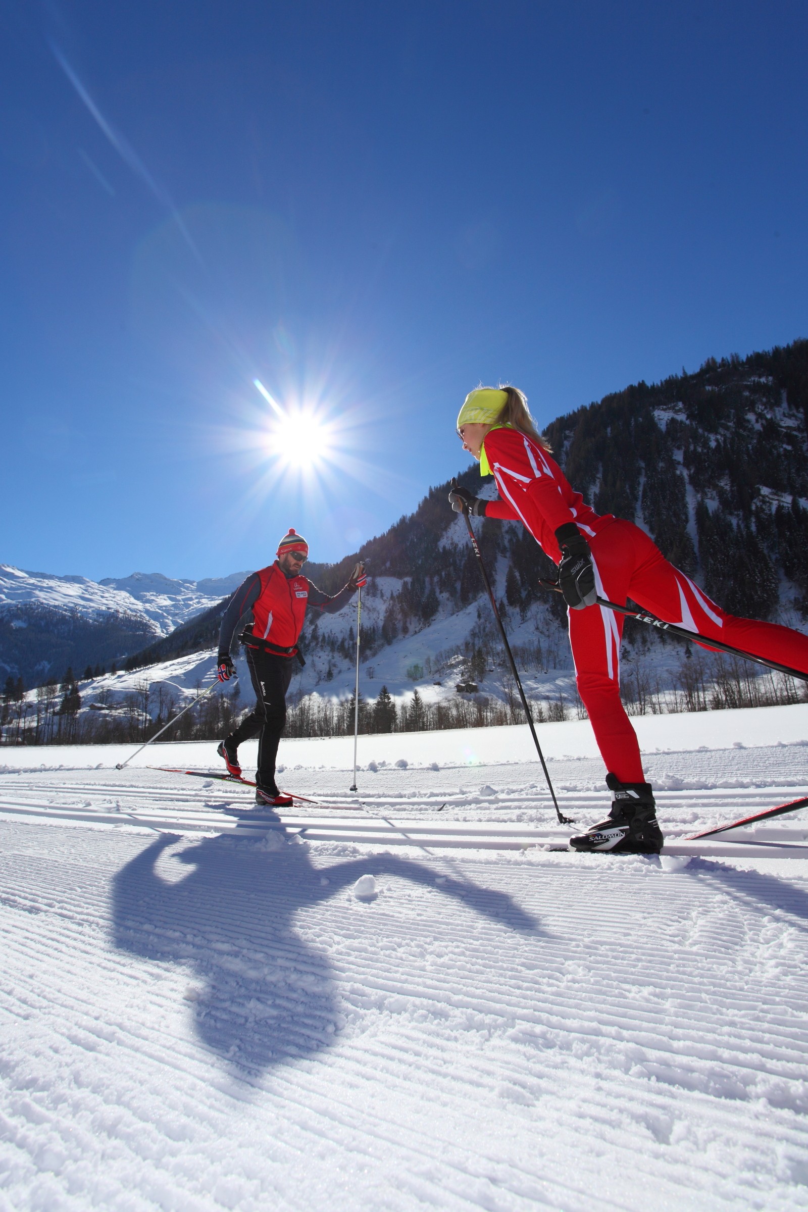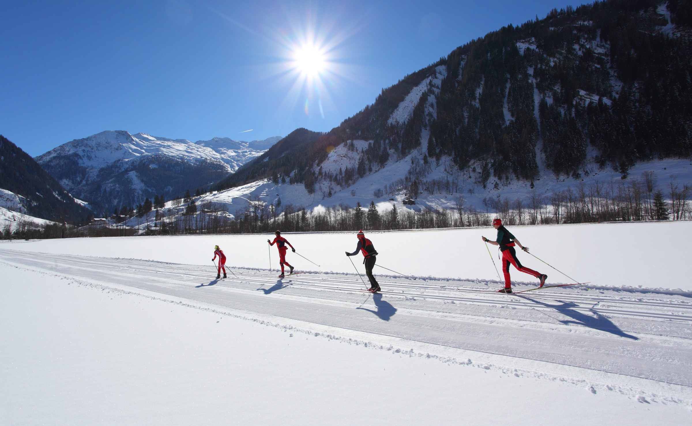
The Cross-Country Area
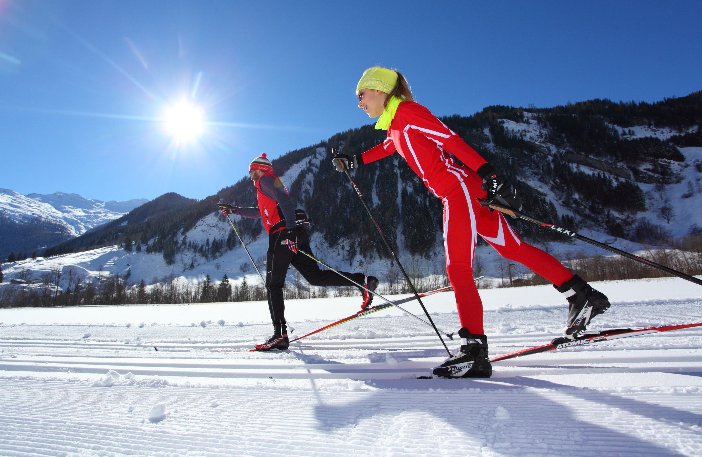
For all those, who prefer a gentle cross-country trail to the alpine circus or those who want to put on their cross country skis after whizzing down the pistes, will find approximately 25 km cross-country trails. There is the Grossarl-trail from Grossarl to the museum of local history "Kösslerhäusl" and the Hüttschlag-trail from Hüttschlag in direction south to the popular "Aschaustüberl" and further to the picturesque valley head to the restaurant "Talwirt" with a large parking area, exhibition "Magic Forest" and National Park Hohe Tauern info-point. The trails are in classic style and at the most parts there is parallel a skating trail. For the connection from the "Kösslerhäusl" to Hüttschlag all the cross country skiers may use the buses free of charge, which go every hour in the mornings and from 2.00 pm every half an hour.
Interesting facts
- The highest point of the track is 1,050 m above sea level.
- Snow coverage is usually best during February, offering an average snow depth of 146 cm at summit elevation and 70 cm at the base.