+
0
+
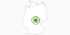
Cross-Country Skiing Area Gehlberg Schmücke in the Thuringian Forest: Position on map

Cross-Country Skiing Gehlberg Schmücke

Schneekopf

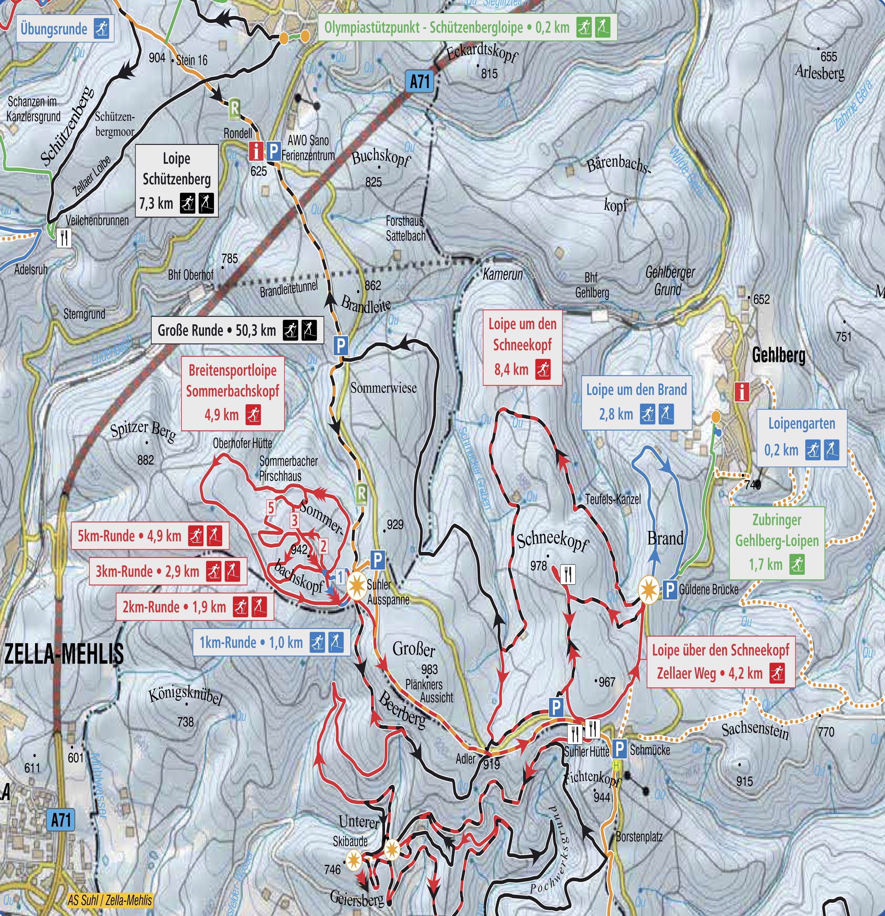
Trail Map Gehlberg Schmücke

Interesting facts

  • The highest point of the track is 970 m above sea level.
  • Snow coverage is usually best during February, offering an average snow depth of 30 cm at summit elevation and 16 cm at the base.

Contact

Tourist Info Gehlberg
Gehlberger Hauptstraße 41
98528
Suhl
E-Mail
Email%69%6e%66%6f%40%67%65%6d%65%69%6e%64%65%2d%67%65%68%6c%62%65%72%67%2e%64%65
Phone+49(0)36845-50 500

Comments

Rate the Cross-Country Skiing Area
Advertisement

Weather (670 m)

Facts

Elevation730 m - 970 m
Skating 14 km
Classic 35 km
Lighted trails N/A

Cross-Country Trails

Easy
Moderate
Advanced
Overall 35.2 km