
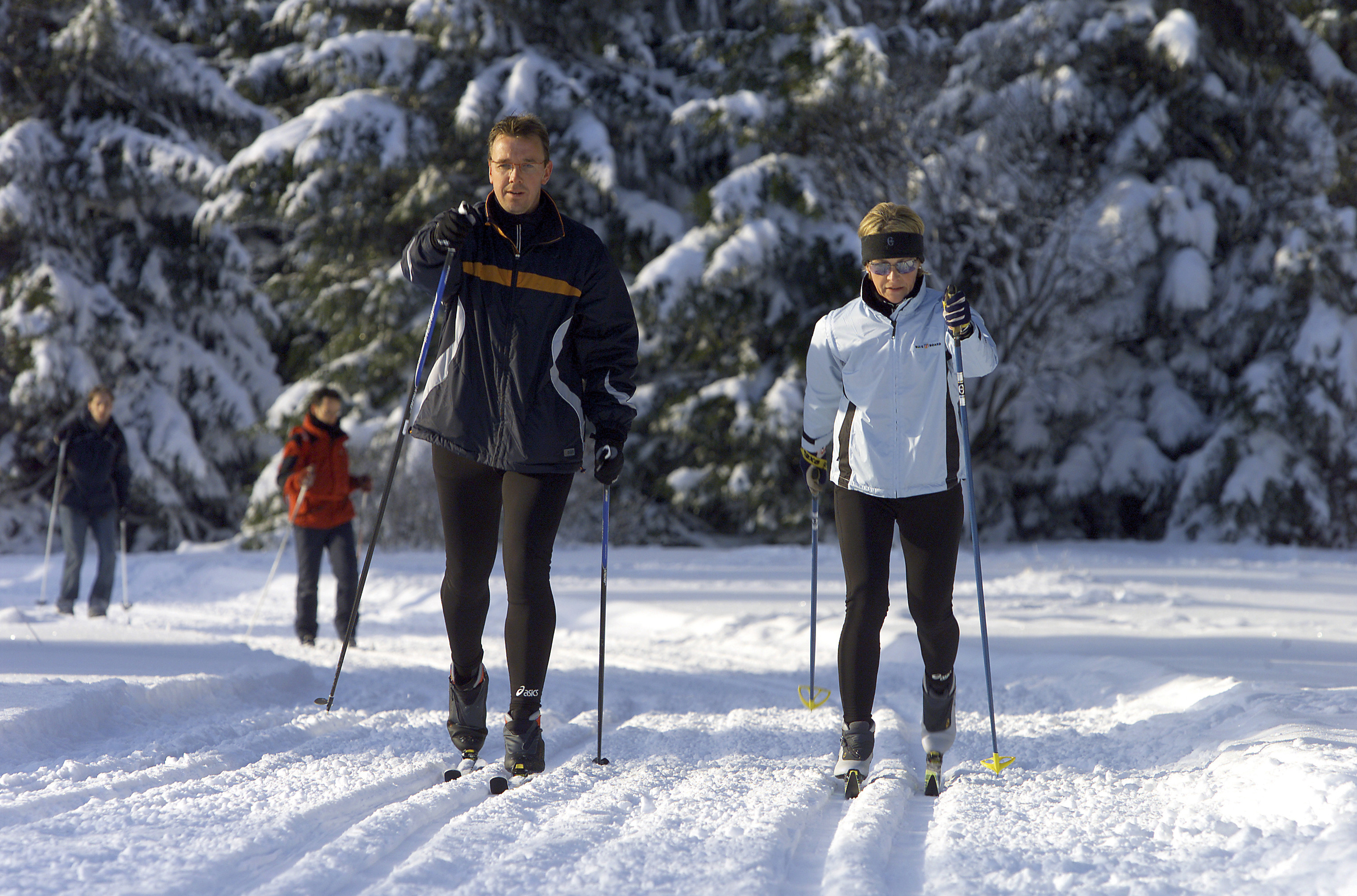
The Cross-Country Area
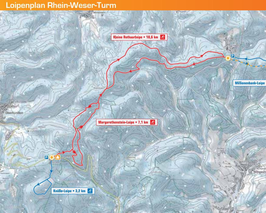
The Rhein-Weser Tower is the south-western starting point of the Rothaarloipe long-distance ski trail. While the easy Knülle trail runs south of the tower, the two medium-difficulty round trails lead northeast. On the small Rothaarloipe you get to Jagdhaus, where you have connection to the Rothaarloipe Schanze/Jagdhaus. There is also a ski lift at the Rhein-Weser-Tower.
The Most Beautiful Tracks
- Knülle trail: 3.2 km - easy - classic
- Margarethenstein trail: 7.1 km - medium - classic
- Small red hair trail: 18.6 km - medium - classic
Interesting facts
- The highest point of the track is 720 m above sea level.
Getting Here
From Olpe you take the B55 via Neuenwald to Oberveischede. There you turn right. After approx. 5 km turn left onto the B517 towards Lennestadt. At Kirchhundem turn right and drive via Würdinghausen and Oberhundem to the Rhein-Weser-Turm, where parking is available.
Travel Deals & Tips
Advertisement
