Interesting facts
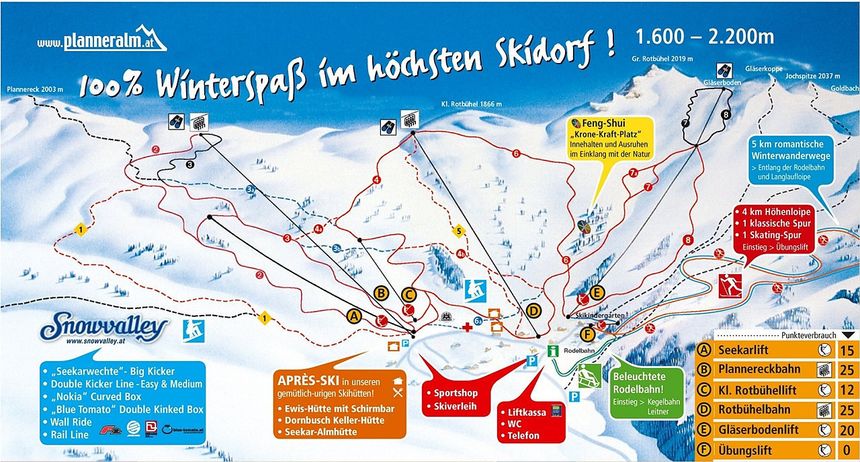
- Elevated between 1,650 m and 1,750 m, the Cross-Country Skiing Area is among the 5 highest elevated Cross-Country Skiing Areas in Styria.
- Average snow depth during the season is 103 cm at summit elevation and 88 cm at base elevation. Snow coverage is usually best during December, offering an average snow depth of 110 cm at summit elevation and 90 cm at the base. Therefore Planneralm is among the 5 cross-Country Skiing Areas with best snow conditions in Styria.
- Planneralm features 29 sunny days on average per season. The average for all cross-Country Skiing Areas in Austria is 29 sunny days. January is the sunniest month with an average of 15 sunny days.


