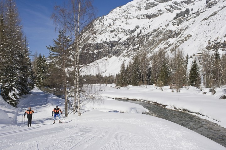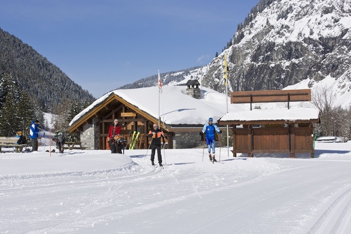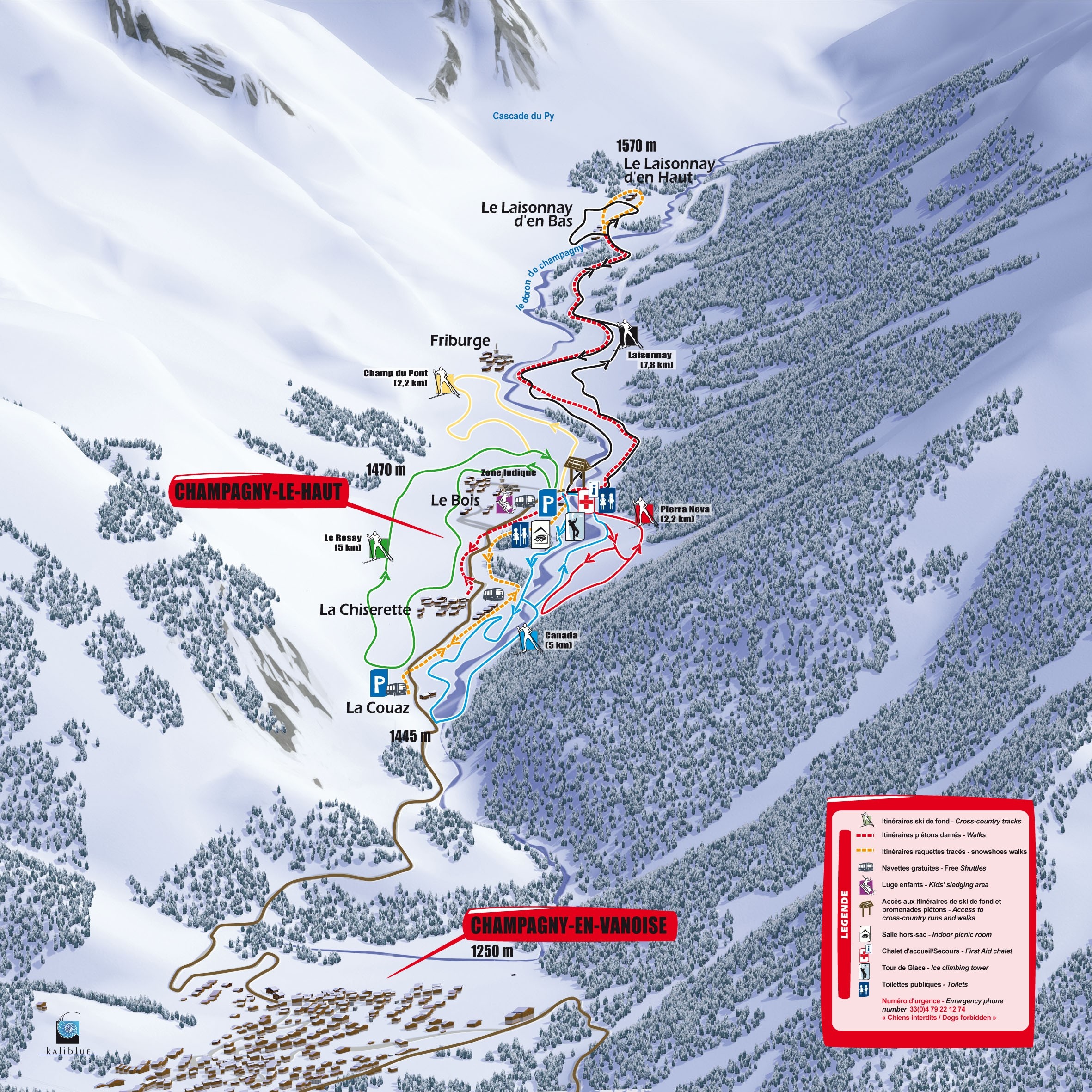
The Cross-Country Area
Away from mass tourism, the municipality of Champagny is located in the French département of Savoi. A total of 23 kilometres of prepared trails await you in the Champagny en Vanoise cross-country skiing area. Along the trails, you can learn interesting facts about the region from information boards. The trails in the winter sports area are marked with different levels of difficulty. From easy to moderately difficult to difficult, everyone will find the right route for them. The blue-marked trails are especially suitable for beginners.
The Most Beautiful Tracks
Overview of the trails in the cross-country skiing area:
- Champ du Pont (2 km): route for beginners, only one ascent.
- Le Rosay (5 km): rather hilly route
- Canada (5 km): hilly track along the river Doron, wooded passages
- Pierra-Neva (2 km): trail in the shape of an "S
- Laisonnay (8 km): varied tour, difficult
- la Chapelle (1 km): downhill variant of the black Laisonnay trail
Interesting facts
- The highest point of the track is 1,570 m above sea level.
- Average snow depth during the season is 248 cm at summit elevation and 52 cm at base elevation. Snow coverage is usually best during April, offering an average snow depth of 300 cm at summit elevation and 37 cm at the base.
- Champagny en Vanoise features 72 sunny days on average per season. The average for all cross-Country Skiing Areas in France is 67 sunny days. April is the sunniest month with an average of 24 sunny days.
Video
01:07
Cross Country Skiing Champagny en Vanoise